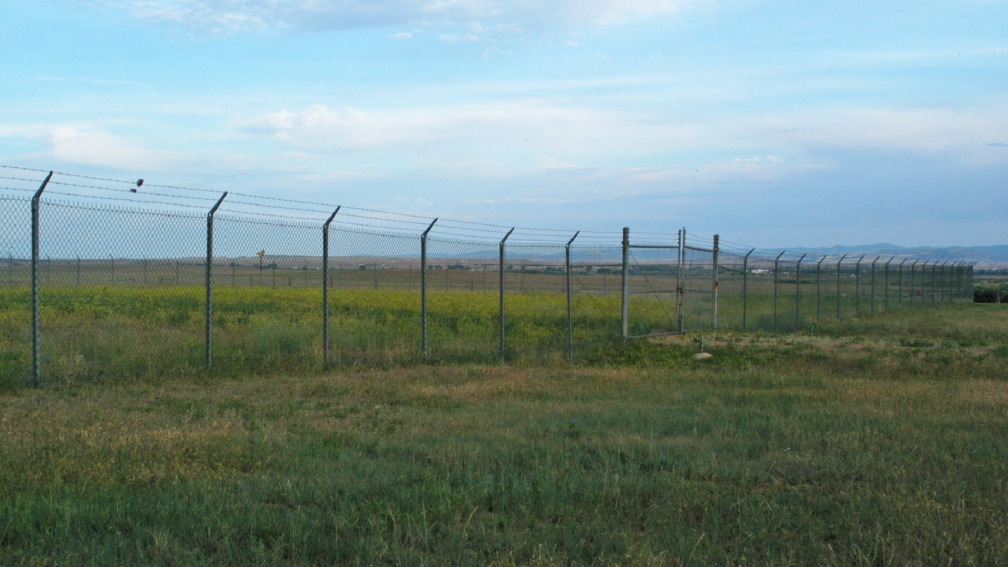
The site calculated to be the present Geographic Center of the U.S.A. is in a field west of Twin Tops Mountain, South Dakota.

Although on private land and not officially open to the public, visitors climb through the cattle fence and walk out to the survey marker.


Sometimes a flag is present, inserted into the hole where a larger flagpole once stood.

The survey monument marking the exact spot is a few feet away.


Down the road is an abandoned farmhouse.


A fenced area encloses a former intercontinental ballistic missile silo.


Nearby is a remote continental scoring site, operated by the Air Force’s Nellis Range, located far away in Nevada.


The nearest town is Belle Fourche.

The town has an interpretive site celebrating it’s centrality.


